동서트레일 47구간 — 오전약수 관광지~수진교 (봉화군)
Trail 코스 · Gyeongbuk · 18.2km · 숲길 · 마을길 섞임
대피소 : 오전약수터 대피소 : 경북 봉화군 오전리 산 7-4 · 백패킹, 화장실, 식수대 · · 도심3리 마을숲 간이대피소 : 경북 봉화군 춘양면 도심리 1358 · 백패킹, 화장실, 식수대 / 안내소 : 봉화객주 안내소 : 경북 봉화군 물야면 오전리 95-31 · 트레킹 안내, 화장실 / 야영(백패킹)은 지정 대피소에서만 — 숲나들e에서 구간 개방 여부와 대피소를 미리 확인·예약할 것. / 공식 지면에 좌표가 없어 지도 점을 찍지 않았다.
849km 동서트레일 47구간 — 오전약수 관광지에서 수진교까지 18.2km, 약 4시간.
코스 정보
| 노면 | 숲길·마을길 섞임 |
|---|---|
| 운영 주체 | Korea Forest Service · Korea Hiking and Trekking Support Center |
Parts of the park and river courses may be closed due to events, construction, or weather conditions. Please follow on-site instructions.
오시는 길
경북 봉화군 · 오전약수 관광지 → 수진교
어떤 곳인가
The full story of the East-West Trail and the 512km section held this year are summarized in Running Inside breaking news → "Korea's Santiago" East-West Trail, 512km, Opens
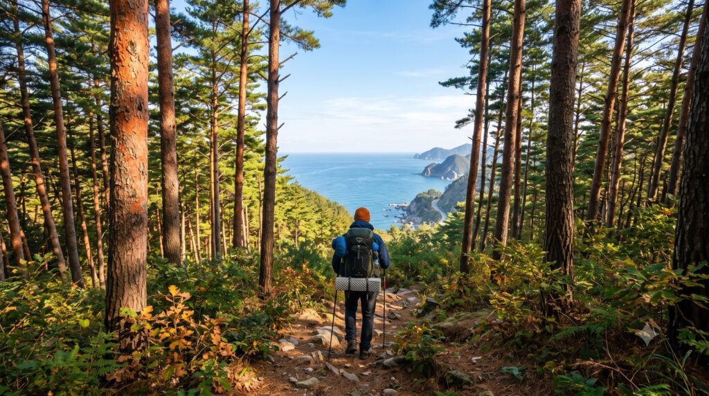
The representative image is an AI-generated image (Gemini) and may differ from the actual landscape. The section information has been reproduced exactly from the official guide by the Korea Forest Service's Supnadle-e (verified as of September 23, 2026).
Comments 0
Anyone can read, but only logged-in members can write. If you find any inaccuracies, please let us know — we will verify and correct them, and leave the date of the correction.
There are no comments left yet. Please be the first to leave a comment.