Home › Training Courses › 로드 코스
전국 로드 코스
마라톤 훈련에 맞는 한강·하천·공원·도심 평지 코스 52 places — 코스를 누르면 지도에 길이 그려집니다.
인기 코스
러너들이 가장 많이 찾는 로드·Trail 코스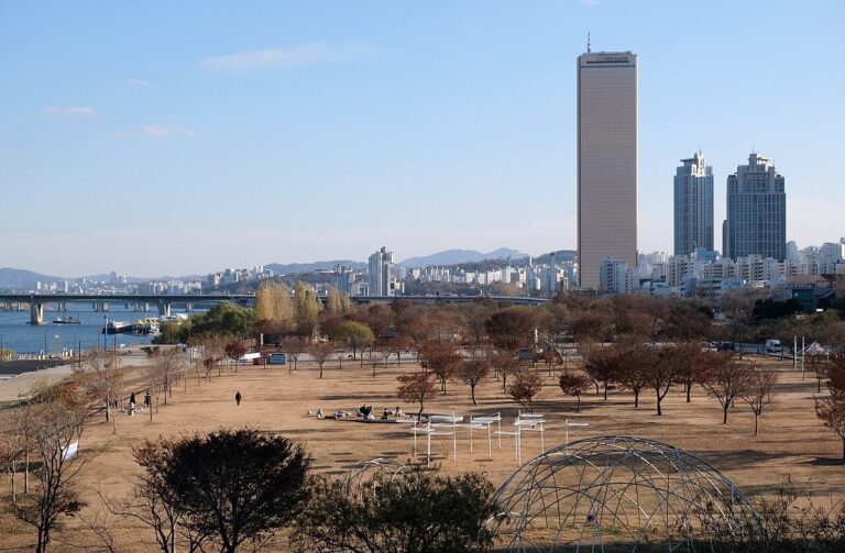 한강여의도 한강공원 러닝 코스Paved riverside path — used with a bicycle …지도에 코스 표시The course most loved by Korean runners — a flat course lined with lighting, convenience stores, and restrooms, allowing you to run safely even at night.
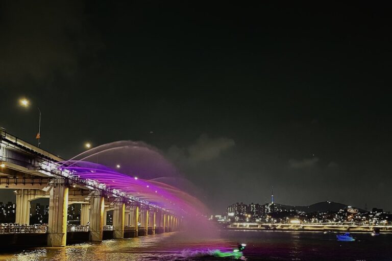 한강반포한강공원 러닝 코스7.2kmPaved walking path (separated from bicycle path)지도에 코스 표시A 7.2km riverside promenade separated from the bicycle path — passes Sebitseom and the Moonlight Rainbow Fountain.
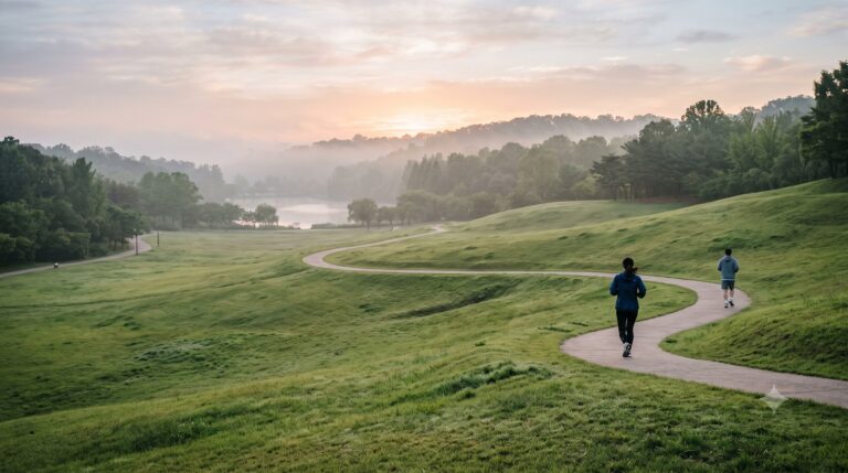 공원·호수올림픽공원 러닝 코스3.2kmPaved loop road (also used as a bicycle loop road)지도에 코스 표시The outer ring road, where marathon races are frequently held, even features the Mongchontoseong hill road.
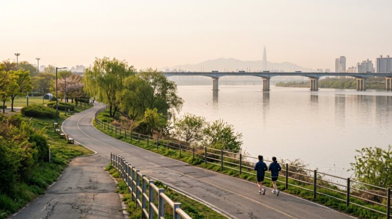 한강뚝섬한강공원 러닝 코스11.5km강변 자전거도로·산책로지도에 코스 표시Hangang Park, where the station exit is also the park entrance — the riverside embankment stretches for 11.5 km.
Seoul Capital Area
Seoul 50
서울 코스 50 전체 보기 →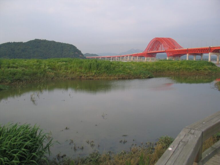 한강강서한강공원 러닝 코스6kmRiverside bicycle path and wetland trail지도에 코스 표시갈대밭과 버드나무숲 습지를 끼고 달리는 한강 서쪽 끝 공원이자 철새도래지.
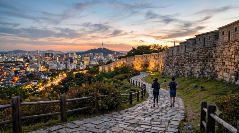 도심낙산공원 한양도성길2kmPedestrian path next to the fortress wall, wooden stairs, stairway …지도에 코스 표시Seoul night view spot running along the fortress wall — 2km from Dongdaemun to Hyehwamun.
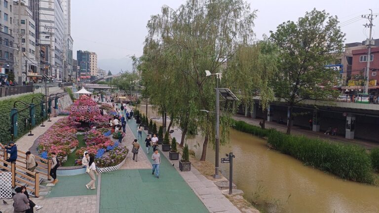 하천도림천 러닝 코스3.8kmWide, flat riverside walking path (bicycle…지도에 코스 표시‘Starlight Stream’ in front of Sillim Station — Night lighting has been added to the wide, flat stream-side path.
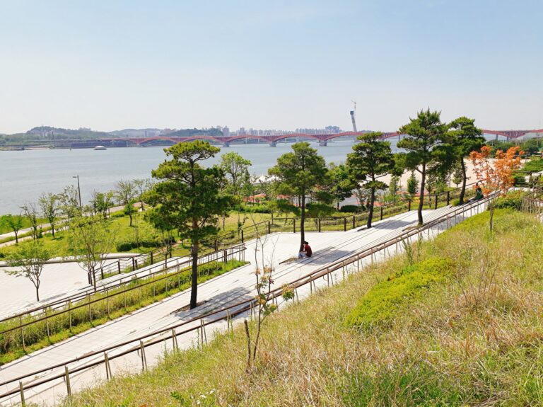 한강망원한강공원 러닝 코스7.4km강변 보행로 — 자전거도로 중 3.1km…지도에 코스 표시원효대교~성산대교 사이 7.4km 강변 — 넓은 잔디 둔치와 서울함공원을 지난다.
Incheon 2
- 공원·호수인천대공원 순환 러닝 코스4.6km포장 산책로 + 흙길 구간One lap is about 4.6km — a park loop trail running against the backdrop of Mt. Sorae. One lap for beginners, two or three laps for training.
- 공원·호수청라호수공원 러닝 코스4.3km포장 순환 산책로A loop around the lake is about 4.3 km — there are no forks in the road, so it is good for pace training, and the night lighting is bright.