서울숲·중랑천 러닝 코스
Paved 코스 · 하천 · Seoul · 3.5km · 중랑천변 보행로(자전거도로 따로) · 서울숲 산책로
큰비가 오면 중랑천 산책로 출입이 통제된다
From Seoul Forest along Jungnangcheon to Salgotji Bridge — a 3.5km waterway without slopes.
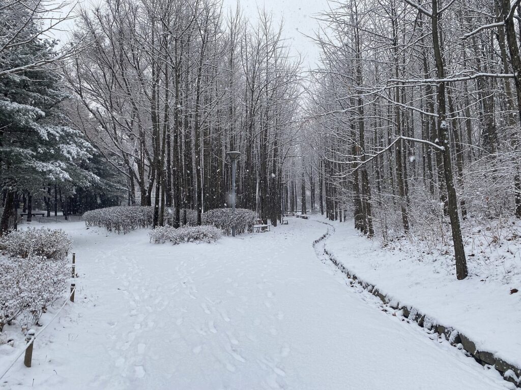
코스 정보
| 노면 | 중랑천변 보행로(자전거도로 따로)·서울숲 산책로 |
|---|
Parts of the park and river courses may be closed due to events, construction, or weather conditions. Please follow on-site instructions.
오시는 길
서울 성동구 서울숲(뚝섬로 273)~살곶이체육공원 중랑천변
대중교통 수인분당선 서울숲역 4번 출구 도보 2분 · 2호선 뚝섬역 8번 출구 도보 10분
Comments 0
Anyone can read, but only logged-in members can write. If you find any inaccuracies, please let us know — we will verify and correct them, and leave the date of the correction.
There are no comments left yet. Please be the first to leave a comment.