Home › Training Courses › 로드 코스
전국 로드 코스
마라톤 훈련에 맞는 한강·하천·공원·도심 평지 코스 52 places — 코스를 누르면 지도에 길이 그려집니다.
인기 코스
러너들이 가장 많이 찾는 로드·Trail 코스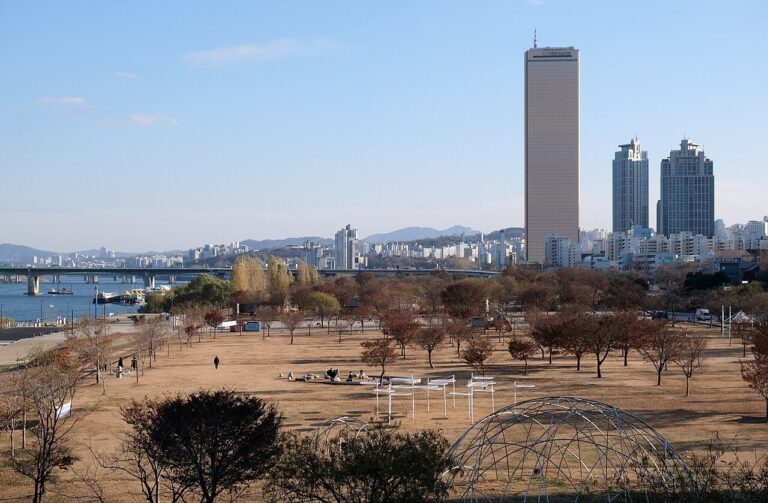 한강여의도 한강공원 러닝 코스Paved riverside path — used with a bicycle …지도에 코스 표시The course most loved by Korean runners — a flat course lined with lighting, convenience stores, and restrooms, allowing you to run safely even at night.
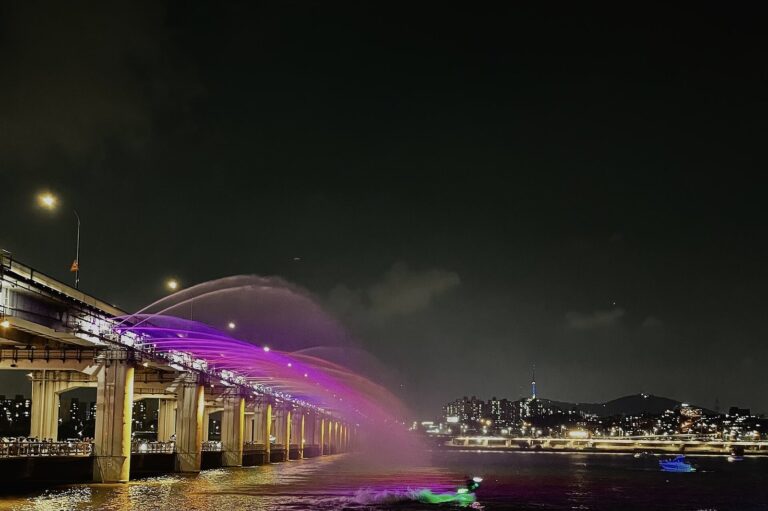 한강반포한강공원 러닝 코스7.2kmPaved walking path (separated from bicycle path)지도에 코스 표시A 7.2km riverside promenade separated from the bicycle path — passes Sebitseom and the Moonlight Rainbow Fountain.
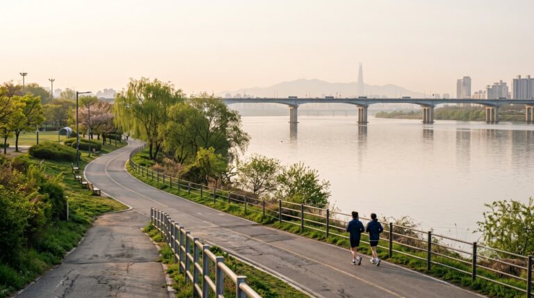 한강뚝섬한강공원 러닝 코스11.5km강변 자전거도로·산책로지도에 코스 표시Hangang Park, where the station exit is also the park entrance — the riverside embankment stretches for 11.5 km.
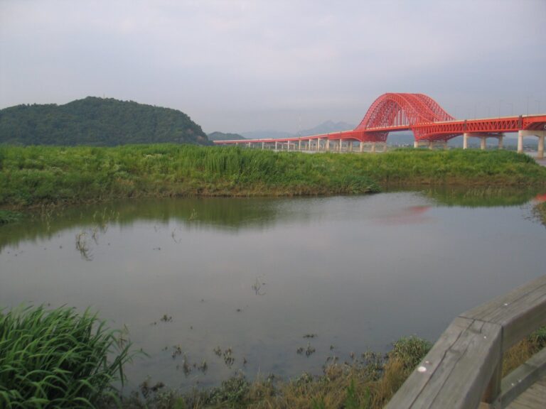 한강강서한강공원 러닝 코스6kmRiverside bicycle path and wetland trail지도에 코스 표시갈대밭과 버드나무숲 습지를 끼고 달리는 한강 서쪽 끝 공원이자 철새도래지.
Seoul Capital Area
Seoul 11
서울 코스 11 전체 보기 →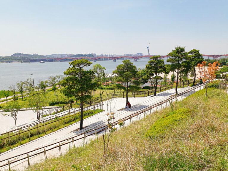 한강망원한강공원 러닝 코스7.4km강변 보행로 — 자전거도로 중 3.1km…지도에 코스 표시원효대교~성산대교 사이 7.4km 강변 — 넓은 잔디 둔치와 서울함공원을 지난다.
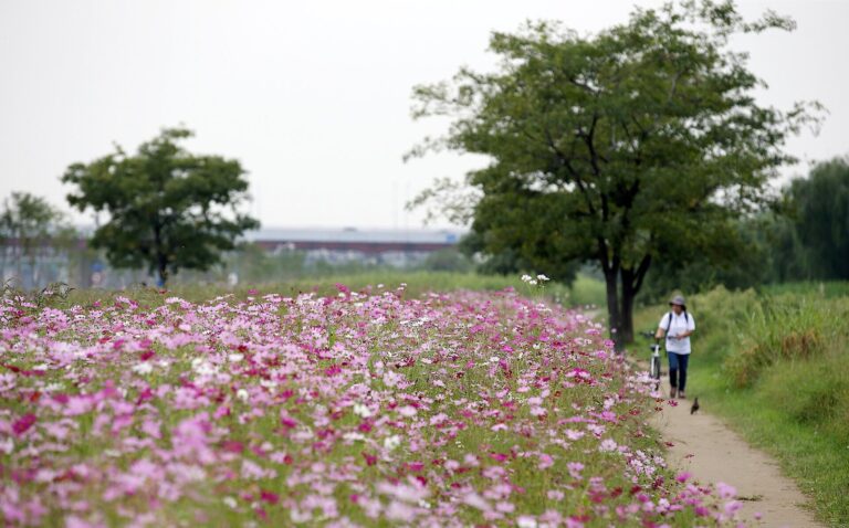 한강이촌한강공원 러닝 코스10.2kmRiverside pedestrian path (next to the bicycle path)지도에 코스 표시The Gangbuk Han River bank, frequently used as a jogging path for citizens — 10km from the mouth of Jungnangcheon Stream to Wonhyo Bridge.
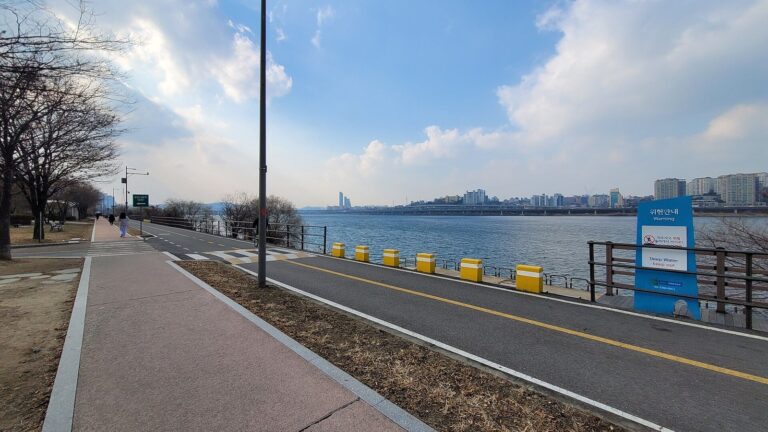 한강잠원한강공원 러닝 코스5.4kmRiverside pedestrian path (next to the bicycle path)지도에 코스 표시Along the 5.4km riverside bordering the southern end of Hannam Bridge — there is a track and field training field on the embankment, so morning exercise is active.
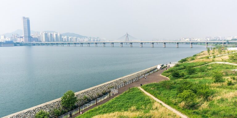 한강Han River Jamsil to Gwangnaru Running CourseRiverside bicycle path and walking trail (towards Gwangnaru…지도에 코스 표시I run along the southern bank of the Han River, from the Jamsil riverside to the Gwangnaru reed field in the water source protection zone.